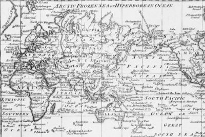
The Mercator projection has been used as a template for world maps since its creation in 1569. The projection shows Africa as being smaller than it is and It has had a digital boost, and continues to shape people’s image of the world. For more on this story click the link

