
Photograph: Missing Maps project
Gamers can now help aid workers locate communities affected by natural disasters, disease outbreaks or conflict using a mobile app developed by Médecins Sans Frontières (MSF).
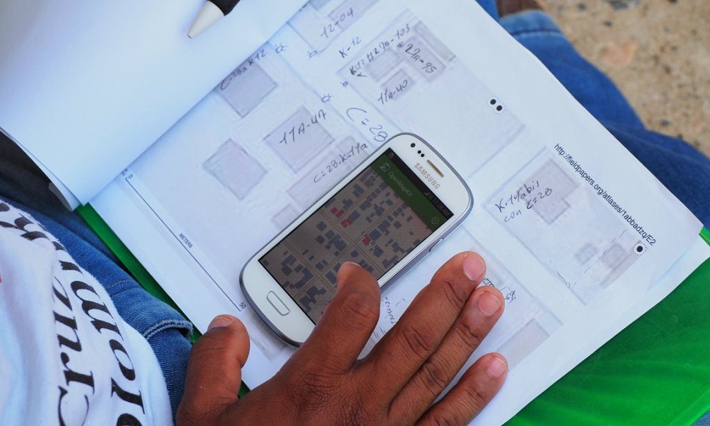
MapSwipe users swipe through satellite images of remote areas and tap the screen when they see features such as settlements, roads and rivers. Information is then fed back to mappers, who use it to draw detailed maps.
Despite launching in the same week as Pokémon Go in the UK, MapSwipe has more than 7,000 users who have surveyed more than 420,000km2 of imagery – an area bigger than Paraguay. The app has been downloaded more than 9,000 times.
“One of the big barriers to efficiency [currently] is that mappers are spending 90% of their time scanning through bush, jungle, desert – nothing basically. One of our first objectives was to crowdsource that first stage,” said Pete Masters, who heads the Missing Maps project for MSF UK.
“The crowd power of sharing this has been phenomenal. We’ve been watching a little bit with amazement and long may it continue.”
Catherine Harding, a 48-year-old medical lab technology student who lives in Richmond, Virginia, is one of the users. Although she doesn’t usually play games on her mobile, she liked the idea of using her free time to support MSF’s work.
“I got really excited about the idea of filling in an app and helping to find people in remote areas. I’ve started playing with it when I watch TV, during commercial breaks. Then the other night I was having dinner in a restaurant with Wi-Fi, so while my dining partner was deciding what beer to have, I was helping Doctors Without Borders.
“On Saturday night I watched two TV shows and managed to map 100km2 of Nigeria.”
MapSwipe now has an offline mode that allows commuters to contribute.
MSF says the homes of hundreds of millions of people are not mapped, making it difficult for humanitarian organisations to respond to disease outbreaks and other emergencies.
Some of the first areas to be mapped by MapSwipe users include Jonglei state in South Sudan – a volatile area where clashes between rival groups are frequent – and the border regions of Sierra Leone, Guinea and Liberia, which were all affected by the devastating Ebola outbreak.

Photograph: MSF/Missing Maps project
The data collected, which will show where settlements and roads exist, can also be used in its raw form for planning mass vaccination campaigns in rural areas.
MapSwipe was developed as part of Missing Maps, a collaboration to map crisis-prone parts of the developing world between the American Red Cross, the British Red Cross, Humanitarian OpenStreetMap Team and MSF. Missing Maps now has 12,000 digital volunteers who help to build maps remotely and at mapping parties, which are held monthly in London.
“We think the area that still needs to be mapped is phenomenally large. Even with the 12,000 people contributing so far, we’re still only scratching the surface, which is why stuff like MapSwipe is so important because it brings a whole new group of people in and makes the tool chain that much stronger,” Masters says.
“The nice thing is we’re hearing from people we’ve not heard from before really, a completely new audience. Lots of people who like gaming, for example, are getting involved. Whereas the mapping is often a little bit slow for gamers … [MapSwipe] is a bit faster and more intuitive.”
MapSwipe is available to download for free for anyone with an Android or Apple smartphone at mapswipe.org.